What this tool does
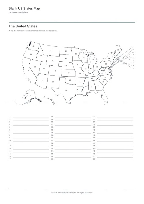
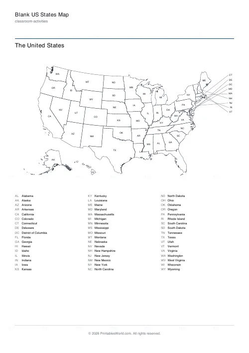
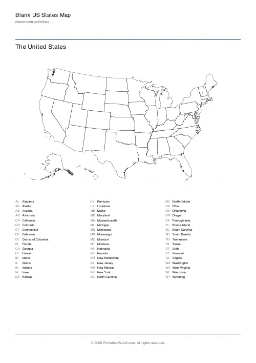
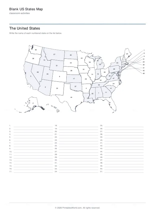
The fifty states and DC drawn from US Census boundary data in the familiar wall-map projection, Alaska and Hawaii inset. Number the states and fill in the names on the list below, print the abbreviations for a reference map, or leave the outline blank. Small north-eastern states get their label outside the map with a pointer, as a wall map does.
People also used
Blank World Map
Real coastlines and country borders, with numbered lines to label the seven continents and five oceans.
Printable Periodic Table (Reference and Fill-In)
All 118 elements: a coloured reference table, a fill-in version with numbers only, or a blank grid, plus a full element list.
Graph Paper Generator
Create custom graph paper PDFs with square or rectangular grids, dot styles, and axis numbering.
Feedback
Spotted something off with this tool?
Real outlines, not a sketch
The map is drawn from the US Census Bureau's state boundary files, the same public-domain data every serious map starts from, projected the way American wall maps are: the lower 48 on an equal-area conic, Alaska shrunk into the bottom left, Hawaii beside it. Borders are simplified to what prints cleanly on a sheet of paper, but the shape of Michigan is the shape of Michigan.
Three modes
Numbers is the test: each state carries a number in alphabetical order and the list under the map has a numbered blank line for every name, with an answer key on a second page. Abbreviations prints the two-letter postal code in each state and the full names in the list, which makes a reference map or a study sheet. None is the outline alone, for colouring, for regions, or for a task the teacher sets.
The small states
Rhode Island, Delaware, DC, Connecticut, New Jersey, Maryland, Massachusetts, New Hampshire and Vermont are too small to hold a label at this size. Their labels stack down the right-hand margin with a thin pointer to the state, the same convention as a classroom wall map, so nothing is squeezed and nothing is left off.
Options
Shade alternate states faintly so borders survive a photocopier. Change the title. Turn the state list off for a map-only sheet. The answer key prints only in numbers mode, since the other two modes already carry the names.
Where it fits
US geography units in grades 3 to 6, homeschool state studies, road-trip colouring (colour a state when you cross into it), and the world map labelling sheet on this site covers continents and oceans in the same style.
FAQs
Quick answers
Where do the outlines come from?
US Census Bureau cartographic boundary data, which is public domain, simplified for printing. Alaska and Hawaii are inset at the bottom left as on a standard wall map.
How does the numbered version work?
Each state has a number in alphabetical order. The list under the map has a blank line for each number to write the name on; the answer key page has the names filled in.
Why are some labels outside the map?
Nine north-eastern states and DC are too small to hold a label. They are listed down the right margin with a pointer line to each state.
Can I get just the outline?
Choose Labels: None and untick the state list.
Are capitals shown?
Not on this version. It is a states map; capitals would need their own positions and a much bigger sheet to be legible.
Is Puerto Rico included?
No. The map is the fifty states and the District of Columbia.
Related tools
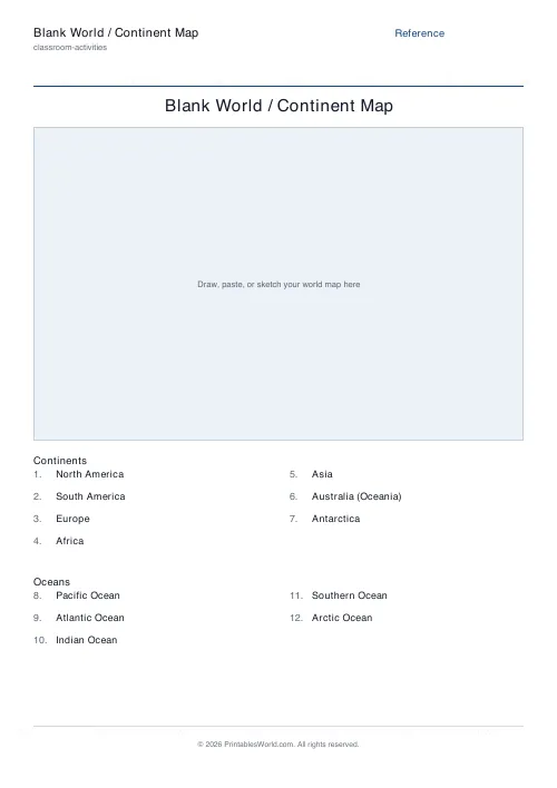
Blank World Map
Real coastlines and country borders, with numbered lines to label the seven continents and five oceans.
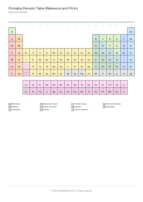
Printable Periodic Table (Reference and Fill-In)
All 118 elements: a coloured reference table, a fill-in version with numbers only, or a blank grid, plus a full element list.
Graph Paper Generator
Create custom graph paper PDFs with square or rectangular grids, dot styles, and axis numbering.
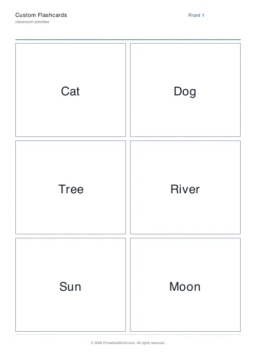
Custom Flashcards
Double-sided printable flashcards from your own list of pairs.
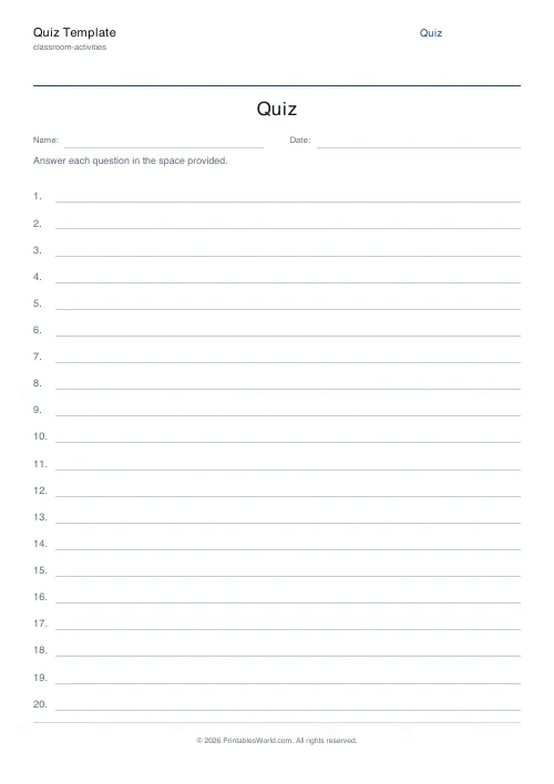
Quiz Template Generator
Blank numbered quiz template with configurable question count and answer-line style.
Further reading
Classroom Activities
Positive reinforcement in the classroom: charts that work
Reward charts work when they name a specific behaviour and fade over time. They backfire when they rank children publicly. Here is the difference in practice.
5 min read
Teaching & Classroom
How to make a custom spelling word search
Turn any spelling list into a printable class set in minutes. A practical guide to making a custom spelling word search, with a worked example and difficulty tips.
7 min read