Classroom Activities
Blank World / Continent Map
Printable blank world map labeling sheet for the 7 continents and 5 oceans.
Last updated:
What this tool does
Make a clean, printable blank world map labeling sheet in seconds. Each page reserves a large blank map area at the top where students draw, paste, or sketch a world map, with numbered label lines below for the seven continents, the five oceans, or both. Add a shuffled word bank to support younger learners, turn on a separate answer-key page for fast marking, or switch to reference mode to print the answers in place. Adjust the map area size, then download or print on A4 or US Letter.
Free downloads
Ready-made Blank World Map Worksheet printables — free PDF downloads
No setup needed — download these print-ready blank world map worksheets as free PDFs. Each one was made with the generator above, so you can recreate or fully customize any of them.
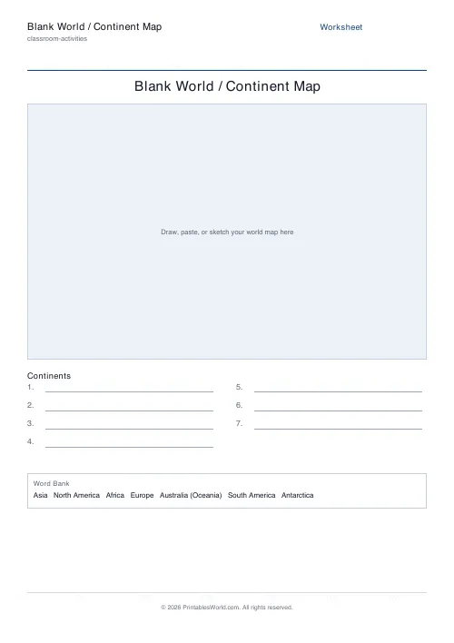
Blank World Map Worksheet — Continents
Print-ready blank world map worksheet (Continents) as a free PDF — made with the generator above so you can tweak and reprint.
↓ Download PDF
Blank World Map Worksheet — Oceans
Print-ready blank world map worksheet (Oceans) as a free PDF — made with the generator above so you can tweak and reprint.
↓ Download PDF
Blank World Map Worksheet — Continents + oceans
Print-ready blank world map worksheet (Continents + oceans) as a free PDF — made with the generator above so you can tweak and reprint.
↓ Download PDF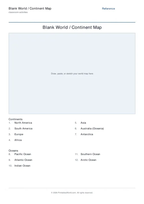
Blank World Map Worksheet — Reference
Print-ready blank world map worksheet (Reference) as a free PDF — made with the generator above so you can tweak and reprint.
↓ Download PDF
Blank World Map Worksheet — With word bank
Print-ready blank world map worksheet (With word bank) as a free PDF — made with the generator above so you can tweak and reprint.
↓ Download PDF
Blank World Map Worksheet — No word bank
Print-ready blank world map worksheet (No word bank) as a free PDF — made with the generator above so you can tweak and reprint.
↓ Download PDF
Blank World Map Worksheet — Continents, with answer key
Completed answer key for the Continents blank world map worksheet — print-ready PDF for fast marking.
↓ Download PDF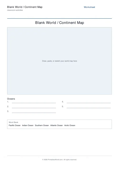
Blank World Map Worksheet — Oceans, with answer key
Completed answer key for the Oceans blank world map worksheet — print-ready PDF for fast marking.
↓ Download PDF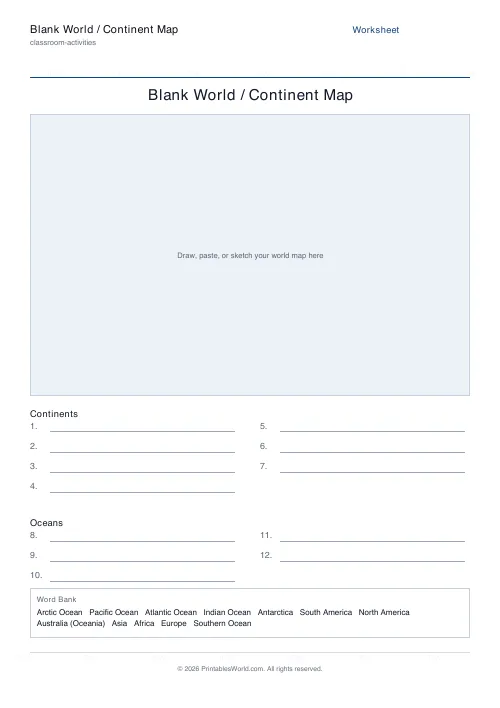
Blank World Map Worksheet — Continents + oceans, with answer key
Completed answer key for the Continents + oceans blank world map worksheet — print-ready PDF for fast marking.
↓ Download PDF
Blank World Map Worksheet — Reference, with answer key
Completed answer key for the Reference blank world map worksheet — print-ready PDF for fast marking.
↓ Download PDF
Blank World Map Worksheet — With word bank, with answer key
Completed answer key for the With word bank blank world map worksheet — print-ready PDF for fast marking.
↓ Download PDF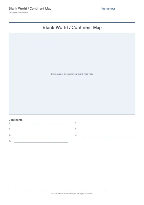
Blank World Map Worksheet — No word bank, with answer key
Completed answer key for the No word bank blank world map worksheet — print-ready PDF for fast marking.
↓ Download PDF
Settings
Customize your worksheet
Continents · A4
What to label
Paper size
Preview
Live PDF preview
The actual PDF, updated as you change settings.
People also used
Feedback
Spotted something off with this tool?
A printable blank world map for labeling
This blank world map worksheet gives students a large bordered map area to draw, paste, or sketch a world map, then a set of numbered label lines beneath it for naming the seven continents and the five oceans. It is built for geography lessons, homeschool social studies, map skills practice and end-of-unit revision. Every sheet comes out of the same branded template, so it prints crisply on A4 or US Letter and lines up with the rest of your classroom resources.
Because the map area is intentionally blank and custom, you control exactly what goes inside it — hand-draw a continent outline, glue in a printed map, or have students attempt the shapes from memory — while the worksheet keeps the labeling structure clean and consistent.
Continents, oceans, or both
- Continents — numbered blank lines for North America, South America, Europe, Africa, Asia, Australia (Oceania) and Antarctica.
- Oceans — numbered blank lines for the Pacific, Atlantic, Indian, Southern and Arctic oceans.
- Continents + oceans — both groups on one sheet, labelled separately, for a full world-geography check.
- Reference — the answers printed in place as a study sheet or word bank.
Word bank and answer key built in
Turn on the word bank to list the terms in a shuffled box at the foot of the sheet — ideal scaffolding for younger learners or English-language learners who recognise the names but need a prompt. Add a separate answer-key page for the blank modes so marking takes seconds and students can self-check their revision. Generate again for a freshly shuffled word bank every time.
Differentiate for any grade
Use the map-area slider to set how much of the page is given to the drawing space, leaving more or less room for the label lines. Start beginners on the continents-only sheet with the word bank switched on, then move confident students to the combined continents-and-oceans sheet with no prompts. The reference mode doubles as a quick study sheet before a test.
How to use it
- Choose what to label — continents, oceans, both, or a printed reference.
- Set the map area size and decide whether to show a word bank.
- Toggle the answer key on for the blank modes.
- Preview the live PDF, then download or print on A4 or US Letter.
FAQs
Quick answers
Does the worksheet include a world map outline?
The map area is intentionally left blank so you can use any map you like. Students can draw the continents freehand, you can paste in a printed outline, or learners can sketch from memory. This keeps the sheet clean, custom and easy to reuse for any curriculum.
Which continents and oceans are covered?
The seven continents — North America, South America, Europe, Africa, Asia, Australia (Oceania) and Antarctica — and the five oceans: Pacific, Atlantic, Indian, Southern and Arctic.
Is there an answer key?
Yes. For the blank labeling modes you can switch on a separate answer-key page that lists every continent and ocean in order. The reference mode prints the answers in place, so it needs no key.
What paper sizes are supported?
You can print on A4 or US Letter. The branded template scales the map area and label lines cleanly for both sizes.
Related tools
US States & Capitals Worksheet
Learn all 50 state capitals with printable quizzes and a reference list.
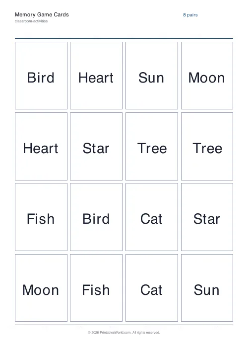
Matching Cards
Pairs of identical cards for a concentration-style match game.
Scavenger Hunt Generator
Build a printable, themed scavenger hunt checklist with tick boxes in seconds.
All About Me Worksheet
A back-to-school fill-in sheet for every pupil.